Although Islamic scholars made substantial contributions to mechanics, astronomy, and especially optics along the road from the Greek ta physika to modern physics, it was in the realm of mathematics that they made what was probably their greatest contribution to the development of that discipline.
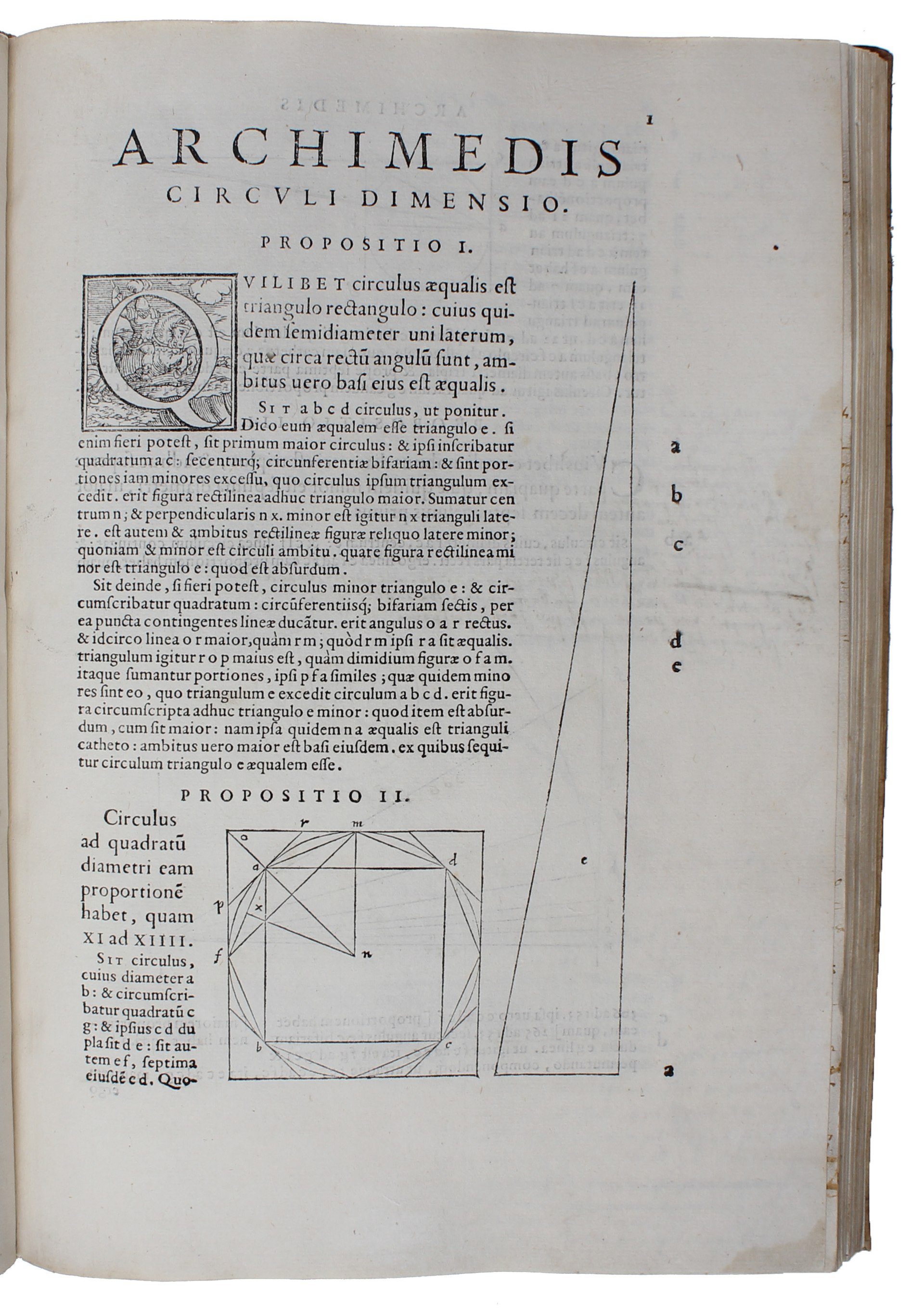
Greek science was to a great extent dominated by geometry, first and foremost the work of Euclid but also that of Apollonius and Archimedes. This continued to be the case during the Middle Ages and Greek geometry also loomed large in Islamic scientific culture. However, one characteristic of the new science developed in the seventeenth century in Europe was the rejection of the synthetic mathematics of Euclidian geometry for the newly emerging analytical mathematics that would become known as calculus. The roots of this change are to be found in the new streams of mathematics inherited from Islamic sources.
Islamic mathematicians developed three new streams of mathematics, arithmetic, algebra, and trigonometry all three of which they had in turn acquired from their predecessors in India. Of course, all three streams existed in one form or another in Ancient Greece but what the Islamic scholars acquired from India was of an entirely different calibre to what had gone before in Ancient Greece.
The arithmetic that Islamic science acquired from India was, of course, the place value decimal number system of which the eighteenth-century French mathematician, physicist, astronomer Pierre-Simon Laplace once wrote:
It is India that gave us the ingenious method of expressing all numbers by means of ten symbols, each symbol receiving a value of position as well as an absolute value; a profound and important idea which appears so simple to us now that we ignore its true merit. But its very simplicity and the great ease which it has lent to computations put our arithmetic in the first rank of useful inventions; and we shall appreciate the grandeur of the achievement the more when we remember that it escaped the genius of Archimedes and Apollonius, two of the greatest men produced by antiquity.
The place value decimal number system evolved over a period of several centuries finally reaching a semi-complete form with the introduction of zero as a number in the Brāhmasphuṭasiddhānta of the mathematician and astronomer Brahmagupta (c. 598–c. 668 CE).

In this work Brahmagupta presents the place value decimal number system including positive, negative numbers and zero, the rules of the four fundamental operations (addition, subtraction, multiplication, and division) in a form that would be at home in a modern elementary arithmetic textbook. The one exception being his attempt to define division by zero, which as we all know ids a no,no.

Brahmagupta’s texts were translated into Arabic in about 750 by Abū ʿAbdallāh Muḥammad bin Ibrāhīm bin Ḥabīb al-Fazārī (died early ninth century) together with Yaʿqūb ibn Ṭāriq (died c. 796) as ‘Az-Zīj ‛alā Sinī al-‛Arab or the Sindhind.
The earliest Arabic text on the Hindu numerals was written by Muḥammad ibn Musá al-Khwārizmī (c. 780–c. 850) The kitab al-jam’ wa’l-tafriq al-ḥisāb al-hindī (Addition and subtraction According to the Hindu Calculation) probably written about 800 CE. It didn’t survive in Arabic but there is a Latin translation made in the twelfth century.

Abū Yūsuf Yaʻqūb ibn ʼIsḥāq aṣ-Ṣabbāḥ al-Kindī (c. 801–873) wrote his kitāb fī isti’māl al-‘adād al-hindī (On the Use of the Hindu Numerals) around the same time, which also didn’t survive.

The earliest surviving works are Kitāb al-uṣūl fī l-ḥisāb al-hindī (“Book of the Principles of Hindu reckoning”) by Abul-Hasan Kūshyār ibn Labbān (971–1029), and Kitāb al‑takmila fī l-ḥisāb (“The completion of arithmetic”) by Ibn Ṭāhir al-Baghdādī (d. 1037). The Kitāb al-fuṣūl fī l-ḥisāb al-hindī (“The book of chapters on Hindu arithmetic”) by Abū l‑Ḥasan al-Uqlīdisī (fl. c. 950) is the first text to describe decimal fractions, which the Indian mathematicians had not developed.
However, Islamic scholars used a variety of number systems. They used the place value decimal number system written with number symbols but also written with Arabic letters as in an alpha-numerical number system. Beyond that they used a pure sexagesimal system, inherited from the Babylonians. They also followed Ptolemaeus with a so-called astronomical number system that used a decimal system for the whole numbers combined with sexagesimal fractions for the fraction part. One area in which the place value decimal number system was widely used was in what we would now term commercial arithmetic. Special applications that drifted towards algebra were the determination of profit or loss shares in trade deals and in the determination of inheritance shares under the complex Islamic inheritance rules.
Algebra and arithmetic are closely linked and this was very much the case in the medieval Islamic adoption and development of algebra. In its origins algebra was restricted to what we would now term the theory of equations. We find aspects of this in virtually all pre-Islamic mathematical cultures, Egyptian, Babylonia, China, Indian and Greece. Whereas the first four all practiced a largely arithmetical approach to the solution of equations, the Greeks developed a geometrical algebra for such solutions. We still retain elements of this when we talk about quadratic and cubic equations; for the Ancient Greek mathematicians such equations describing geometrical figures.
The early Islamic mathematicians borrowed heavily from all of the earlier sources. Once again very influential was the Brāhmasphuṭasiddhānta of Brahmagupta. J. L. Berggren attributes the creation of algebra to al-Khwārizmī:
Out of this dual heritage of solutions to problems asking for the discovery of numerical and geometrical unknowns Islamic civilisation created and named a science–algebra.[1]

It is well-known that the term algebra is derived from the title of al- Khwārizmī’s book al-Kitāb al-Mukhtaṣar fī Ḥisāb al-Jabr wal-Muqābalah (The Compendious Book on Calculation by Completion and Balancing), whereal-Jabr means “setting back in its place” or “restoration.” Al- Khwārizmī “uses the term to denote the operation of restoring a quantity subtracted from one side of the equation to the other side to make it positive.”[2] The Latinised version of his name also provided us with the term algorithm. Although, Algorisme was originally the term for calculating with the Hindu-Arabic numer system.

Although al- Khwārizmī is the best known Islamic algebra author he is by no means the only one. The Mesopotamian polymath Thābit ibn Qurra (c. 830–901) gave a more general demonstration of the solution of quadratic equations than al- Khwārizmī.
The prominent Egyptian mathematician Abū Kāmil Shujāʿ ibn Aslam ibn Muḥammad Ibn Shujāʿ (c. 850–c. 930) was known as Al-ḥāsib al-miṣrī (The Egyptian Calculator). His most influential work was his Kitāb fī al-jabr wa al-muqābala (Book of Algebra), which superseded and expanded on al- Khwārizmī work.
He wrote about al_Khwārizmī:
I have studied with great attention the writings of the mathematicians, examined their assertions, and scrutinized what they explain in their works; I thus observed that the book by Muḥammad ibn Mūsā al-Khwārizmī known as Algebra is superior in the accuracy of its principle and the exactness of its argumentation. It thus behooves us, the community of mathematicians, to recognize his priority and to admit his knowledge and his superiority, as in writing his book on algebra he was an initiator and the discoverer of its principles, …(Wikipedia)

The first chapter teaches algebra by solving problems of application to geometry, often involving an unknown variable and square roots. The second chapter deals with the six types of problems found in Al-Khwarizmi’s book, but some of which, especially those of x2, were now worked out directly instead of first solving for x and accompanied with geometrical illustrations and proofs. The third chapter contains examples of quadratic irrationals as solutions and coefficients. The fourth chapter shows how these irrationalities are used to solve problems involving polygons. The rest of the book contains solutions for sets of indeterminate equations, problems of application in realistic situations, and problems involving unrealistic situations intended forrecreational mathematics. (Wikipedia)
Like that of al- Khwārizmī, Abū Kāmil’s work would filter through to Europe in the later Middle Ages, as did the work of the Persian mathematician and engineer Abū Bakr Muḥammad ibn al Ḥasan al-Karajī (c. 935–c. 1029). His three principal surviving works are mathematical: Al-Badi’ fi’l-hisab (Wonderful on calculation), Al-Fakhri fi’l-jabr wa’l-muqabala (Glorious on algebra), and Al-Kafi fi’l-hisab (Sufficient on calculation). Whereas the work of al- Khwārizmī and , Abū Kāmil were still anchored in the algebraic geometry of the Greeks, al-Karajī went as long way to making it a numerical discipline.
Although Brahmagupta had dealt with negative numbers and the rules for calculating with negative quantities, they were largely ignored by the early Islamic algebraists. Al-Samawʾal ibn Yaḥyā al-Maghribī (c. 1130–c. 1180), who was born in Baghdad into a Jewish family of North African origin he converted to Islam, introduced the rule of signs in his al-Bahir fi’l-jabr, (The brilliant in algebra), written when he was nineteen years old. He also dealt with the law of exponents and polynomial division.

Our final Islamic algebraist is Ghiyāth al-Dīn Abū al-Fatḥ ʿUmar ibn Ibrāhīm Nīsābūrī (1048–1131) better known in English as Omar Khayyam (‘Umar al-Khayyāmī) as a poet but he was polymath, who did important work in mathematics and astronomy. His most important development in algebra was a geometrical general theory of cubic equations.

The third major innovative area of Islamic mathematics was trigonometry. Trigonometry had its origins in Greek astronomy, with Hipparchus (c. 190–c. 120 BCE) providing a table of chords of a circle to designate the size of angles.

Being astronomy, the application is, of course only to spherical triangles. His table did not survive but Ptolemaeus took it over in his Mathēmatikē Syntaxis know in Arabic as the Almagest.
When the Indians took over many aspects of Ancient Greek astronomy they also acquired the cord measure of angles, which they halved to create the sine, a table of sines is presented in the Surya Siddhanta from the 4thor fifth centuries.

This work also defines the cosine, versine and inverse sine. Early Islamic astronomers acquired their astronomy from both Ancient Greece and India but went on to use the Indian sine rather than the Greek cord measure for angles.
The tangent function was known to various ancient cultures, outside of astronomy, as a means for determining the hight of structures. Because the shadow of a tall object creates a right angle triangle from which the tangent and cotangent can be used to determine the height of the object, the tangent became known as the shadow function.
Once again the Persian mathematician al- Khwārizmī was a pioneer in this branch of mathematics producing sine, cosine, and tangent tables. Another Persian astronomer, mathematician and geographer, Habash al-Hasib al-Marwazi (766 – d. after 869) described and produced tables of the tangent and cotangent.
The Syrian astronomer Abū ʿAbd Allāh Muḥammad ibn Jābir ibn Sinān al-Raqqī al-Ḥarrānī aṣ-Ṣābiʾ al-Battānī (before 858–929) defined and produced tables for the secant and cosecant. He was also the first to apply the trigonometric functions to plane triangles. In general, Islamic mathematicians introduced the use of trigonometrical functions into surveying and cartography.

Abū al-Wafāʾ Muḥammad ibn Muḥammad ibn Yaḥyā ibn Ismāʿīl ibn al-ʿAbbās al-Būzjānī (940–998), born in Khorasan (in today’s Iran), was the first to present all six of the trigonometrical functions in his Kitab al‐Majisṭī .

Abū ʿAbd Allāh Muḥammad ibn Muʿādh al-Jayyānī (989–1079), an Arabic mathematician from al-Andalus produced his Kitab madschhulat qisiyy al-kura (The book of unknown arcs of the sphere) a treatise on spherical trigonometry. Al-Jayyānī’s work on spherical trigonometry contains formulae for right-handed triangles, the general law of sines, and the solution of a spherical triangle by means of the polar triangle.

The Persian polymath, Nasīr al-Dīn al-Tusī (1201–1274), in his work asch-Schakl al-Qattāʿ (Treatise on the Quadrilateral) was the first to handle trigonometry as a mathematical disciple independent of astronomy. He dealt both with the cordal trigonometry of the Greeks as well as the six modern functions, introducing the law of tangents for spherical triangles and providing proofs of it and the law of sines.
Throughout the medieval Islamic period from al- Khwārizmī in the eighth century to Ulugh Beg in the fifteenth, Islamic astronomers and mathematicians continually worked on developing new mathematical methods to calculate ever more accurate tables of trigonometrical functions. In general, they took the simple method developed by Hipparchus to determine the size of angles in astronomy and over many generations developed an entire branch of mathematics, which would continue to increase in importance after re-entering Europe.
It is difficult to overemphasise to contributions that Islamic mathematicians made in various areas of mathematics that they had inherited from their predecessors, developments that would play a significant role in the general development of science and physics in particular in later centuries.
[1] J. L. Berggren, Episodes in the Mathematics of Medieval Islam, Springer, New York, 2003, p. 102
[2] Berggren, p. 102


 but less than
  .
.